
X
VMLY&R: Quest to LEGOLAND
VMLY&R: Quest to LEGOLAND
A GPS built for kids that starts the LEGOLAND adventure the moment families leave home
VMLY&R and LEGOLAND reinvented the GPS experience for kids. Using Google Maps, they brought LEGOLAND stories together with GPS data to transform a phone’s GPS into an immersive LEGOLAND adventure.
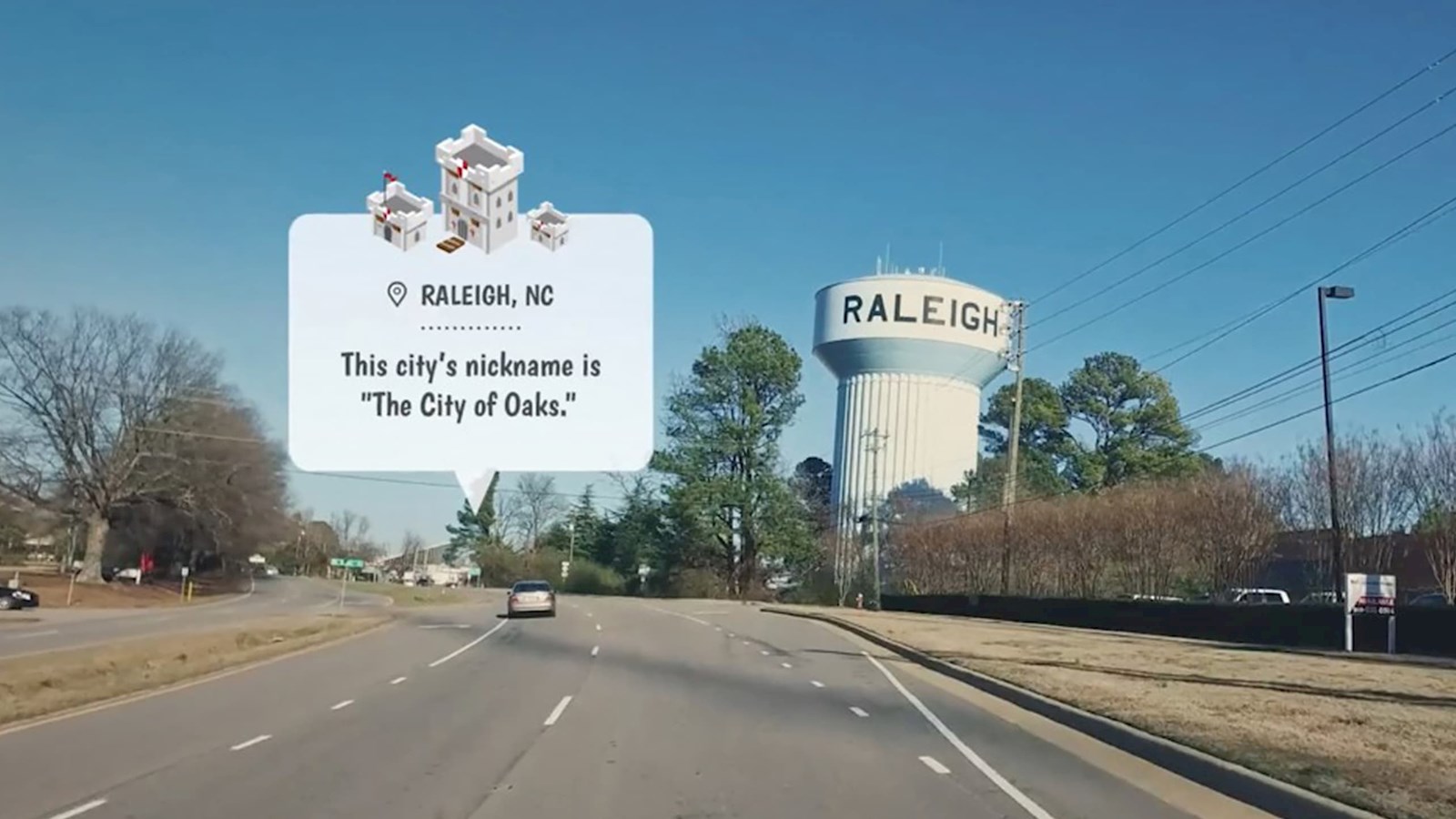
The GPS experience is mapped in real time using Google Maps data, adjusting to any changes in the route. Every trip is based on a specific route, just as with a traditional GPS, but what kids see in the app is unique to their trip. To curate the experience for kids, more than 5,000 kid-friendly landmarks were chosen and integrated into the experience, so each landmark has something new to discover.
By integrating real-world destinations into imaginary storylines and games, every trip is a unique adventure. Not only are kids informed about their trip’s progress, but they’re also engaged and entertained by their surroundings. As kids share new discoveries with their parents, the trip becomes an interactive and educational game.
The GPS experience uses Google Maps data and manually identifies the exact geo-coordinates of more than 5,450 landmarks across the US. When a user enters their starting location, the app plans a route to LEGOLAND, pulling in 60 points of interest along the way. Each landmark is then matched with an activity — from fun facts and quizzes to themed games. As kids travel and progress on their route, they discover the landmarks around them and unlock games to progress in the story.
The Google data is integrated into a LEGO-themed environment. At each landmark the game consults its database to understand the type of landmark to display. A unique landmark was also designed for each one of the LEGO stories. The game then determines the story being played by drawing from a database to ensure kids are engaged.
